-

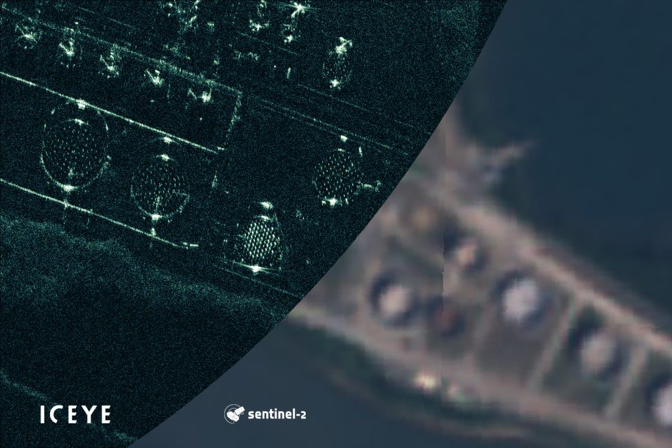
A comparison between ICEYE's SAR image, left, and visible image data from the European Space Agency's Copernicus network, showing crude oil tank filling in Brisbane, Australia. [credit: ICEYE ]
A Finnish company named ICEYE that is building a constellation of satellites to create synthetic images of the Earth's surface says it has taken the first sub-1 meter resolution photos of the planet with a small satellite. The images show significant detail of crude oil being loaded onto and off of tankers.
According to ICEYE co-founder and chief scientific officer Pekka Laurila, since its founding in 2015 ICEYE has raised about $65 million, expanded to 120 employees, and most recently has launched three of its mini-refrigerator sized satellites into low-Earth orbit.
For the first three years ICEYE focused on technology development, and its first payload launch occurred in January 2018, on board India's Polar Satellite Launch Vehicle. Since then ICEYE has launched two more satellites and plans to add another two by the end of this year. "It is fair to say that we are moving into commercial operations, and the scope of those commercial services are rapidly increasing," Laurila said in an interview with Ars.
No comments:
Post a Comment