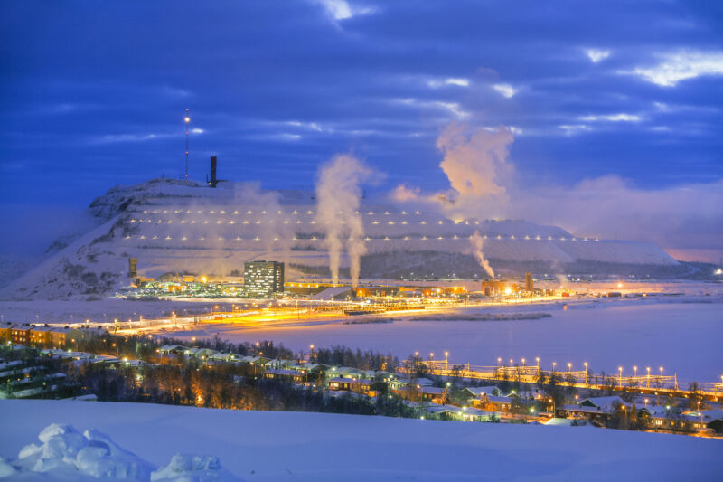
Enlarge / A mining operation inside the Arctic Circle. (credit: BeyondImages / Getty Images)
As the world warms, countries with holdings in the Arctic are increasingly eyeing the region for development and use. As Ars reported last July, the frigid polar zone might be open to increased shipping, as it remains free of ice longer under climate change.
However, policymakers and scientists need better tools to understand the extent to which humans are using the Arctic and what the future holds for the roads, settlements, and other developments in the region. New research claims to provide a more accurate way to look at how human use is changing the Arctic.
According to Annett Bartsch, lead author of the paper, there are currently no good sources of data for risk assessments and vulnerability studies for the infrastructure in the Arctic. She said that OpenStreetMap is “incomplete and inconsistent” in the Arctic and that previous research using it just accepted its limitations.
No comments:
Post a Comment