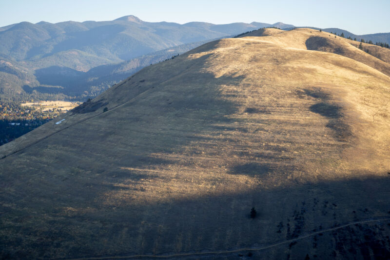
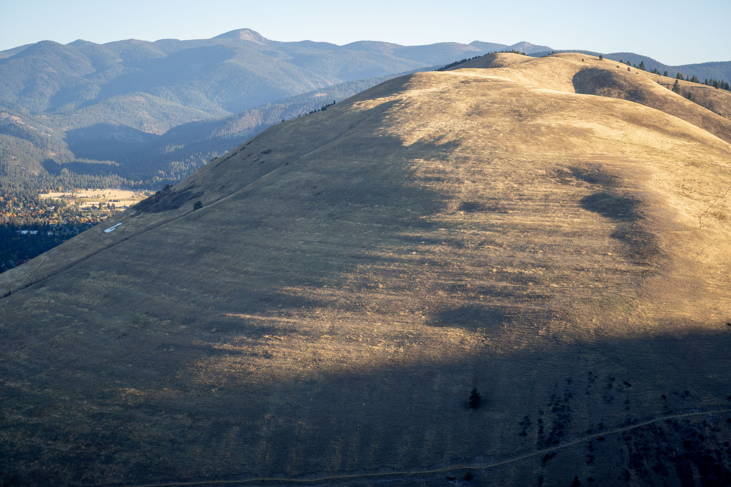
Enlarge / Past shorelines left deposits that are still visible on the hills near the Missoula Valley. (credit: Richard Forbes)
Had the city of Missoula, Montana, existed thousands of years ago, it would have been under water.
During the last Ice Age, a sheet of ice 20 miles wide got stuck in the Idaho panhandle and blocked the Clark Fork River, creating glacial Lake Missoula. At its highest, the water level reached 4,250 feet above sea level—over 1,000 feet above the present city’s altitude. The ice sheet ultimately gave way to the pressure of the water, and glacial Lake Missoula drained catastrophically.
It’s estimated that the biggest flood discharge reached 386 million cubic feet per second. At that rate, it took the lake only a few days to drain, with its waters eventually reaching the Pacific Ocean.
No comments:
Post a Comment