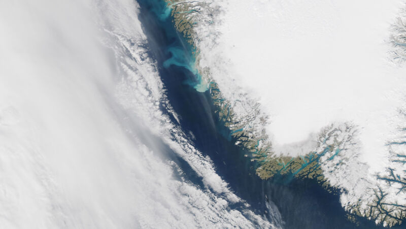
Enlarge / Clouds obscure the waters off Greenland's southwest coast. (credit: NASA EO)
While the GRACE satellites were active, their incredibly precise gravity measurements tracked a loss of about 280 billion tons of ice from Greenland each year. That's glacial land ice that raises sea level as it flows into the ocean—and it's vanishing at a remarkable clip. But just how remarkable is that clip? We don't have such excellent measurements going back too far into Greenland's history.
A new study led by the University of Buffalo's Jason Briner takes this question on. We have lots of paleoclimate records of climate conditions in Greenland, the position of the ice on the landscape, and even changes in sediments carried into the sea by meltwater. None of that directly tells you how much ice was accumulating or disappearing. To put the pieces together and calculate that, you need to combine that data with a model.
Digital ice
The researchers used a high-resolution ice-sheet model simulating (roughly) the southwest quadrant of Greenland. There's a good reason for that: the ice sheet mostly melts before reaching the ocean here, making it the simplest area to simulate. Since we've been tracking things, the year-to-year growth or losses of the ice sheet here nicely mirror the Greenland-wide total. So simulate this area well, and at high resolution, and your numbers should scale to the whole ice sheet.
No comments:
Post a Comment